| |
|
 |
 |
|
 |
|
| |
 |
|
|
| |
|
Trekking in southern Tuscany | Stribugliano - Poggio all'Olmo - Monticello Amiata
|
|
|
|
| |
|
This brief itinerary starts in Stribugliano, Piazza della Fontana and explores the Mediterranean macchia and Chesnut forests between Stribugliano and Monticello Amiata.
The property of Podere Santa Pia lies on a hill overlooking the Valle d’Ombrone, a beautiful and miraculously intact valley. This part of southern Tuscany, known as the Maremma, is a wonderfully peaceful and very beautiful unspoiled area, ideal for a quiet holiday. Castiglioncello Bandini is a small borgo on the edge of the Poggio all'Olmo Nature Reserve. Several itineraries in the area make this village a good starting point to explore hills and valleys between Monte Amiata and the Valle d'Ombrone.
Stribugliano - Poggio all'Olmo - Monticello Amiata
The roads and the paths going through this wild area give the visitor the opportunity to see sceneries of unexpected beauty.
|
 |
Walking along pathways lined with century-old chestnut trees in Riserva Poggio dell'Olmo [2]
|
Beech and chestnut trees cover the lower slopes of Monte Amiata, and if you visit this region in October you will be enthralled by the rich colors of autumn with the red and gold of beech, chestnut, and oak trees. Several festivals celebrate the harvest. The chestnut festival in Monticello Amiata (Festa della Castagna) with the tasting of traditional dishes made with mushrooms and chestnuts. The best castagnaccio in the Maremma is made in Monticello Amiata. Castagnaccio is a plain chestnut flour cake.
Map and gpx
|
|
| |
From Stribugliano to Poggio all'Olmo and Monticello Amiata | 7,39 km | 1h 28m
Download gpx tracks here
Dislivello : 300 m
Ascesa totale 274 m
Discesa totale 296 m
Reversed track Monticello Amiata - Stribuliano | 7,39 km | 1h 28m
Download gpx tracks here
Dislivello : 300 m
Ascesa totale 263 m
Discesa totale 306 m
|
|
|
Immagine suggestive, Riserva Poggio dell'Olmo [2]
|
Salaiola - Stribugliano cimetero | 10,60 km | 2h 7m
Download gpx tracks here
Dislivello: 340 m
Ascesa totale 379 m
Discesa totale 282 m
Anello Monticello Amiata - Poggio all'Olmo | 7,96 km | 1h 35m | Download gpx tracks here
Map Nature Reserve Poggio all'Olmo | Geoscopio arprot - Geoportale delle aree protette e dei siti di interesse regionale, nazionale e comunitario della Toscana
|
|
|
|
| |
|
The cypresses of Podere Santa Pia
|
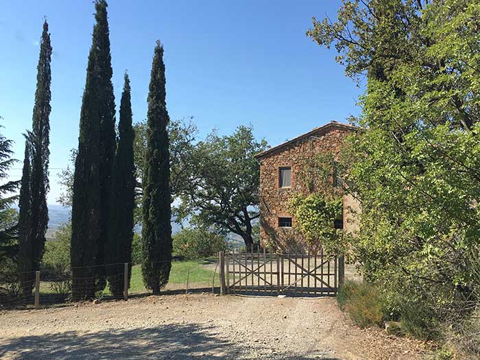 |
The gate and cypress trees at Podere Santa Pia (3,8 km) [1]
|
|
|
| |
|
| |
|

Castiglioncello Bandini album
|
|
|
 |
|
|
|
 |
Castiglioncello Bandini, Castiglion del Torto
|
|
Casa Vacanze Podere Santa Pia
|
|
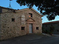
Cinigiano, view from Castiglioncello Bandini
|
 |
|
 |
|
 |
Castiglioncello Bandini album
|
|
Castiglioncello Bandini |
|
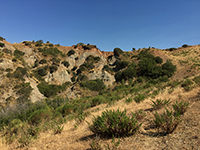
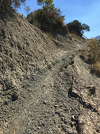
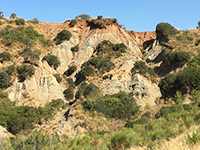
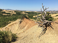
Castiglioncello Bandini, Calanchi in the valleybeween Podere Santa Pia, Federano and the torrent Rancida
|
Calanchi
|
|
|
|
|
 |
|
 |
|
 |
| |
Calanchi in the valley below Santa Pia
|
|
Calanchi nella valle sotto Podere Santa |
| |
|
|
|
| |
|
|
|
| |
|
|
|
|

Galleria fotografica Monte Amiata
|
|
|
Monticello Amiata
|
|
|
 |
|
 |
|
 |
Monticello Amiata
|
|
Panorama Monticello Amiata |
|
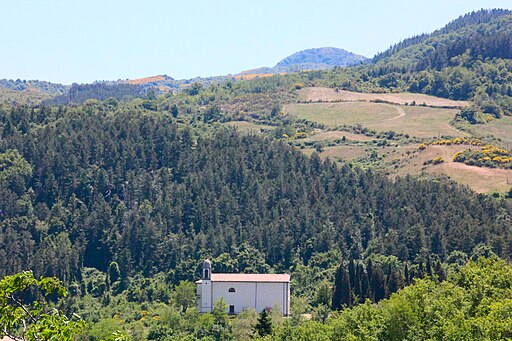
Veduta di Montelicello Amiata
(Cinigiano)
|
 |
|
 |
|
 |
Santuario della Madonna di Val di Prata, itinerario verso Monte Labbro
|
|
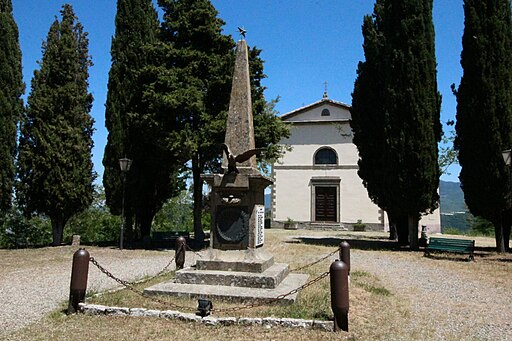
Santuario della Madonna di Val di Prata, itinerario verso la Riserva Naturale Poggio all'Olmo |
|
Santuario della Madonna di Val di Prata |
 |
|
 |
|
 |
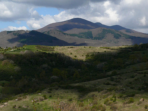
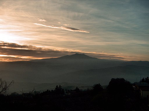
Monte Amiata
|
|
Monte Amiata
|
|
Walking on Monte Amiata
|
 |
|
 |
|
 |
Monte Buceto |
|
Boschi di faggi sul Monte Amiata |
|
Abbazia San Salvatore di Monte Amiata, Bosco in loc. Primo Rifugi
|

Walking in southern Tuscany | Itineraries exploring Castiglioncello Bandini and the Mediterranean macchia in the valleys around the village
Brief itinerary exploring the Mediterranean macchia and calanchi in the valley between Podere Santa Pia and Cinigiano
Circular Trail | Starting Point, the cypresses of Podere Santa Pia
Lenghth: 3,85 km, 1 hour 20 minutes
Easy, except for the track halfway
Through the woods to Castiglioncello Bandini
Starting Point, the cypresses of Podere Santa Pia or the Castle of Castiglioncello Bandini
Lenghth: 6 km, 1 hour 55 minutes
Easy | 227 m upwards, 227 m downwards
From Podere Santa Pia (Castiglioncello Bandini) to Cinigiano
Lenghth: 8,34 km
Easy
Hiking along the Rancioa riverbed, in the hidden valleys below Castiglioncello Bandini
Circular Trail | Starting Point, the cypresses of Podere Santa Pia
Lenghth: 4,42 km, 1 hour 31 minutes
Easy, except for the essential part of the track beyond Podere Federano, where you reach and follow the Rancioa riverbed
Tuscany | Calanchi e biancane | Un tesoro della natura
Map Castiglioncello Bandini - Poggio all'Olmo
|
|
View a larger map at Openstreetmaps
|
Arcidosso - Monte Labbro | 10 km | 2 hours | Download gpx
Anello Monticello Amiata - Poggio all'Olmo | 7.96 km | 1h 35m | download gpx
Arcidosso - Monte Labbro - Roccalbegna | 17,83 km | 3,5 hours | Download gpx
Anello Arcidosso - Parco Faunistico - Monte Labbro | 15.27 km | 3h 3m | Download gpx
Anello Parco Faunistico - Monte Labbro | 5,68 km | 1h 8m| gpx
Anello Monticello Amiata - Monte Labbro | 30.41 km | round trip | 6h 4m | Download gpx
Nei castagneti di Arcidosso |
Da Tepolini attraverso i castagneti di Arcidosso | 4.2 Km circa | 1 ora e 1/4

[1] Foto di Giovanni Casalini licenziato in base ai termini della licenza Creative Commons Attribution-Share Alike 3.0 Unported.
[2] Foto di Rein Ergo. All rights reserved © Traveling in Tuscany
|
|
|
| |
|
|
|
| |
|
|
|
| |
|
|
|
| |
|
|
|
| |
|
|
|
| |
|
|
|
|