
Monte Amiata | View on Montelaterone, Arcidosso |
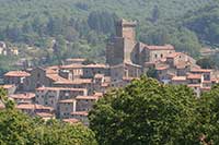
Montelaterone is a fraction or frazione of the municipality of Arcidosso, located on a sandstone ridge between the Ente and Zancona valleys, dominating the village of Castel del Piano. Montelaterone is about 4 km from Arcidosso and about 55 km from Grosseto.
|
Mappa Cassero senese in Montelaterone, Arcidosso | Ingrandire mappa
|
Galleria fotografica Monte Amiata e Montelaterone
|
||||
 |
 |
 |
||
Monte Labbro
|
Monticello Amiata
|
Cassero senese in Montelaterone, Arcidosso
|
||
 |
 |
 |
||
Montelaterone, Arcidosso
|
Chiesa della Madonna delle Grazie (Madonna della Misericordia), Montelaterone
|
Arcidosso, panorama
|
||
I sentieri della Monte Amiata e Montelaterone| Itineraries gpx
|
||||
|
||||
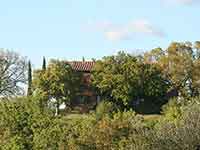
Perched between the ancient splendor of Mount Amiata and the untamed allure of the Tuscan Maremma, our idyllic holiday house Podere Santa Pia beckons travelers to savor the harmonious fusion of history and wilderness in this captivating landscape.
|
||||
 |
 |
 |
||
Podere Santa Pia |
Podere Santa Pia, view from the garden
|
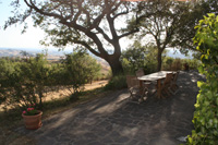
Podere Santa Pia, southern terrace |
||
The pool, an azure jewel nestled amidst the verdant Tuscan hills, beckoned with its shimmering waters, a siren's call to cool serenity. It was a liquid oasis, where the reflections of swaying cypress trees and fluttering butterflies merged into a dance of light and shadow.
|
||||
 |
 |
 |
||
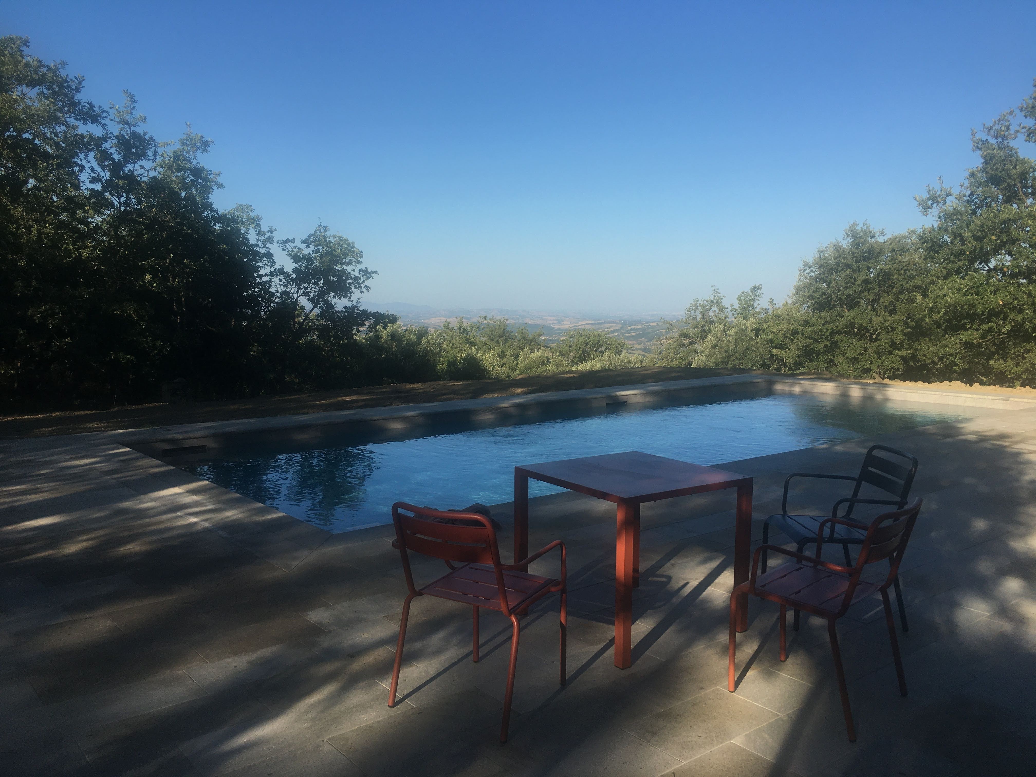
Early morning light at the private swimming pool at Podere Santa Pia
|
A beautiful spring morning by the pool, a natural jewel nestled amidst the verdant Tuscan hill
|
A beautiful early evening by the pool, a natural jewel nestled amidst the verdant Tuscan hills
|
||
|
||||
 |
||||
La Maremma Toscana, la Toscana più verde e lussureggiante [2]
|
||||
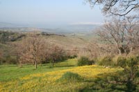
The Maremma embraces the Tyrrhenian coast and the inland hills that stretch from Massa Marittima to Capalbio, and includes the area of Monte Argentario and the islands of the Grosseto archipelago, up to Saturnia and the Tuff Area of Sovana, Sorano and Pitigliano, and to Monte Amiata, the highest extinct volcano in Italy, reaching 1736 metres. The surrounding area contains volcanic lakes, rugged rocks, river sources and several protected areas. Sparsely populated, it consists mostly of small towns spread throughout the valleys. Nearby villages and cities guarantee the proximity to a wide choice of gorgeous Tuscan and Maremma restaurants, osterie, trattorie where the unique flavour of the typical Tuscan cuisine will surprise you.
|
||||
Montegiovi
|
||||
Montegiovi, and light powder snow on the shoulders of Monte Amiata
|
||||
Cicloturismo nella Maremma in Toscana | 35 Percorsi ciclistici
|
||||
|
||||
Questo articolo è basato parzialmente sull'articolo Cassero Senese (Montelaterone) dell' enciclopedia Wikipedia ed è rilasciato sotto i termini della GNU Free Documentation License.
|
||||